Exploring the Paradise on Earth
Explore The Parachinar
Parachinar is the capital of District Kurram (Ex Kurram Agency FATA), the name Parachinar derived from a large Chinar tree at a place now encompassed by the headquarters of District Kurram. There was a tribe in District Kurram known as the Para-chamkani (Lisyani), which is remembered to hold meetings under a Chinar tree to discuss their community issues. Before, the district Kurram (Ex Kurram Agency) was referred to Tutki, and Parachinar as Tutki Bazar, the residents of Tutki were known as Tutkiwal.
Parachinar Geographical Importance
Parachinar is a highly important area based on its geographic importance, as seen on Google Maps, stems primarily from its strategic location as a “Parrot’s Beak” shaped protrusion of Pakistani territory deep into Afghanistan, based bordering the Afghan provinces of Khost, Paktia, Logar and Nangarhar. It is the capital of the District Kurram (Ex Kurram Agency) exist in the western and northern side of the District Kurram Pakistan’s Khyber Pakhtunkhwa (KPK) province (Ex NWFP). It is the closest point in Pakistan to Kabul, at a distance of approximately 110 kilometers (68 miles) to the capital of Afghanistan. This close proximity to multiple Afghan provinces makes it a crucial historical and contemporary transit point.
Parachinar area is 3,310 square kilometers and is 253 kilometers away from the city of Peshawar. It is located on latitude N 330 53’44’’ and longitude E 700 06’ 24’’ at an elevation of 1,726 m (5,663 ft) from the mean sea level. Parachinar is the fourth coldest location in Pakistan. It has a moderate humid subtropical climate with an average rainfall of 781.7 mm (30.8 in).
Parachinar Population
Parachinar is not just a city, also the capital of the Kurram District. It is connected with other villages, the overall Parachinar Population is above 450,000 as per latest reports (2025) that haven’t been updated. This figure represents the population within the strictly defined municipal boundaries of the urban area, while the Kurram District Population is over 850,000 that consist of Upper Kurram, Lower Kurram and Central Kurram. Many other villages rely on Parachinar for services, markets, education, and healthcare, and their residents often identify strongly with Parachinar as their urban hub but not accurately identified.
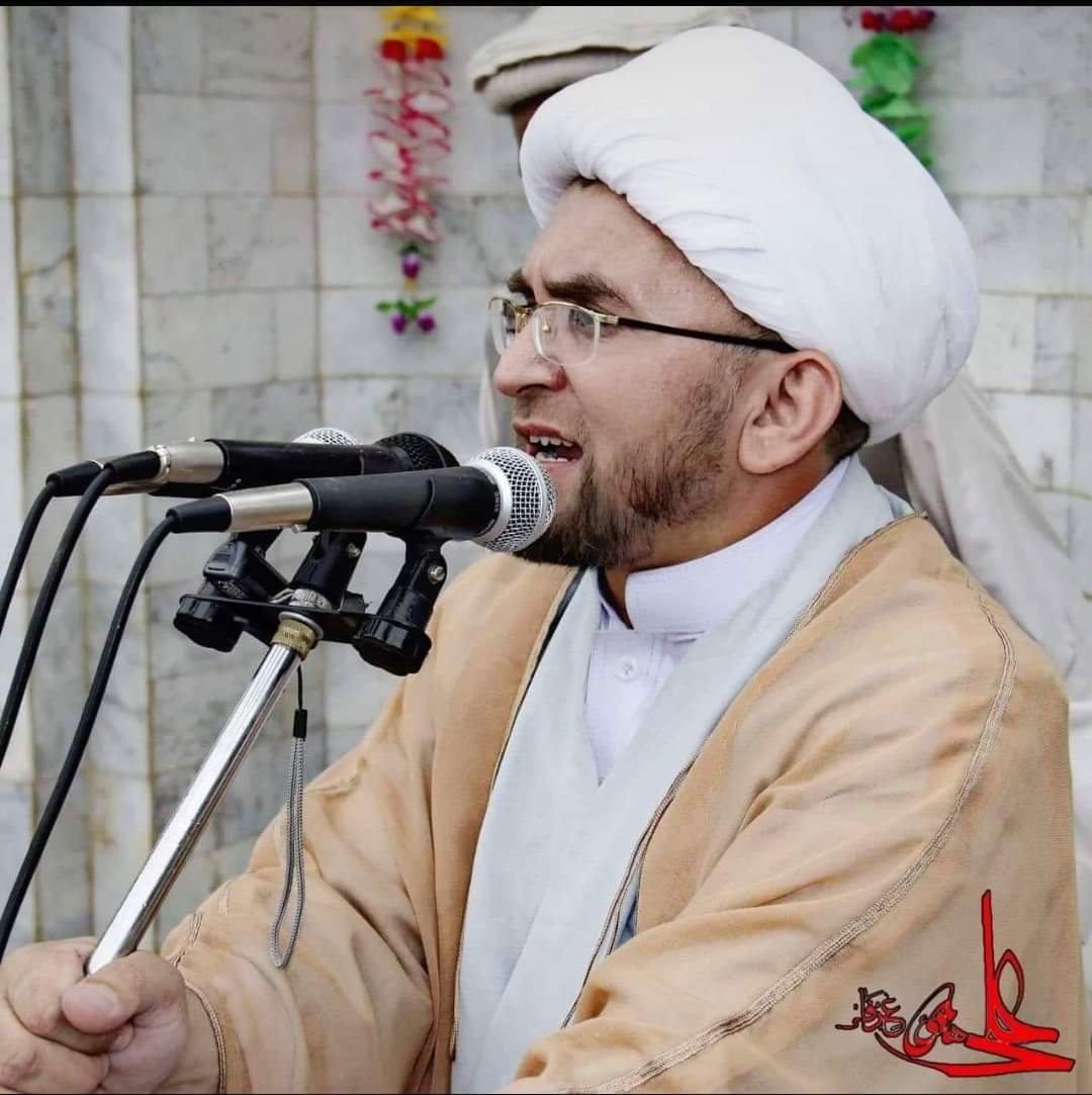
"Parachinar the land of bravery, the land of resistance, the second Karbala, the land of lions, the land of martyrs."

Shaheed Allama Muhammad Nawaz Irfani